


Open EO data and open source software as a foundation for monitoring the European Green Deal
The 4th edition of the Open-Earth-Monitor Global Workshop 2025, focusing on “Open EO data and open source software as a foundation for monitoring the European Green Deal”, is behind the corner!
The workshop will take place in Perugia, Italy, from 17–19 September 2025, and is jointly organized by the OpenGeoHub Foundation, the Department of Civil and Environmental Engineering of the University of Perugia, and the National Research Council of Italy (CNR).
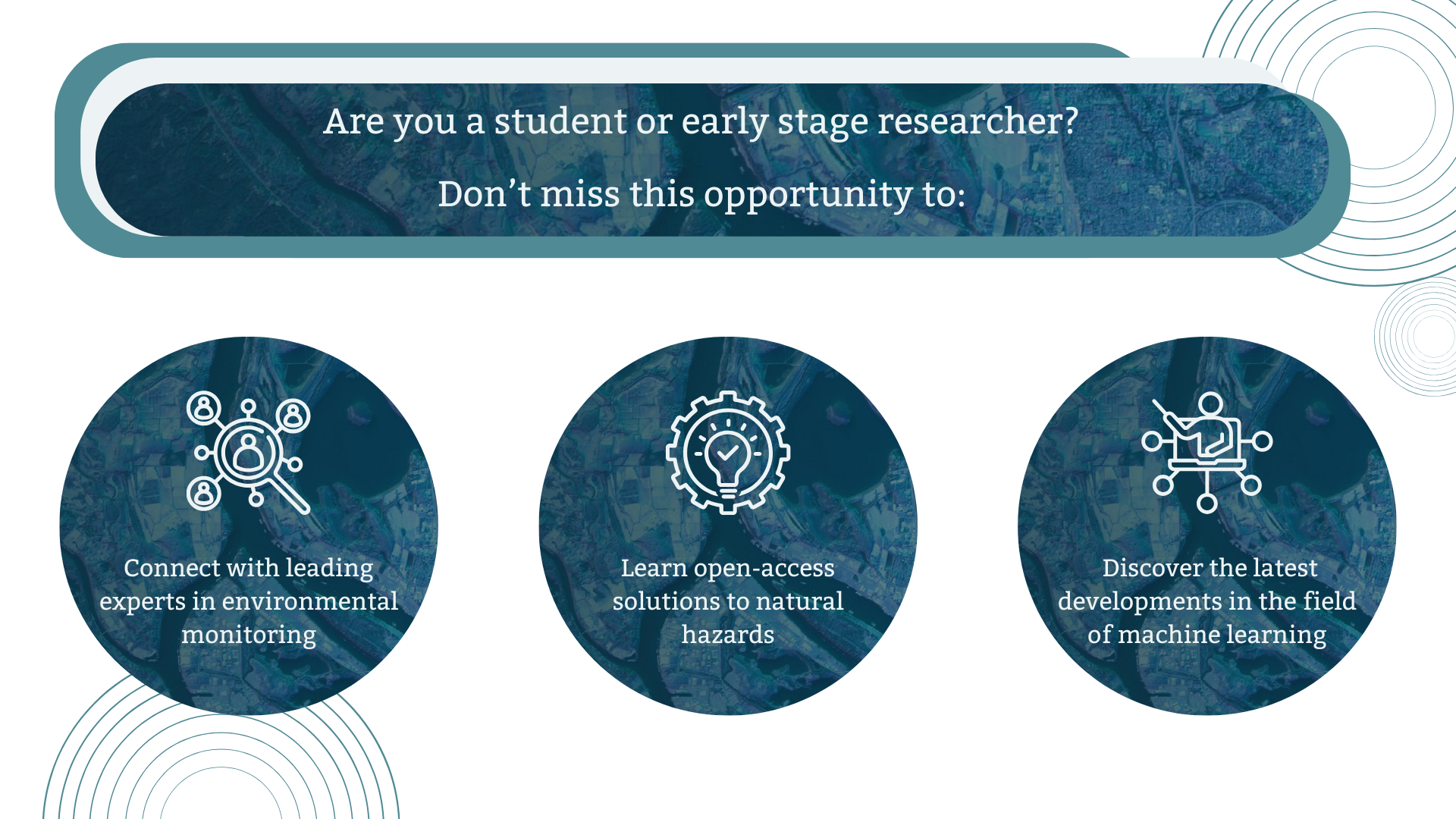
Over the course of three days, the workshop will bring together researchers, policymakers, innovators, and students for hands-on sessions, technical discussions, demos, and real-world applications of open data and Earth Observation tools to address most pressing environmental challenges.
 © OEMC
This workshop will be a hybrid event and will feature:
- Keynote presentations, oral sessions, workshops, and poster sessions
- 30+ live use cases highlighting practical applications
- Insights from ongoing collaborations with ESA, EuroGEO, and the GEO Secretariat
- Targeted networking opportunities for knowledge exchange and collaboration
At the Global Workshop, Steffen Fritz will deliver a keynote speech on 'Preventing Catastrophic Climate Change: The Role of In-Situ Data and Citizen-Collected Observations'.
Today, high-resolution maps can be produced in just a few clicks thanks to open-source tools and accessible algorithms. But their true potential relies on high-quality training and validation data, and this is where citizen engagement can play a key role. Fritz' presentation will highlight innovative tools from user-friendly apps for visual interpretation and machine learning–ready data collection to in-situ observation tools embedded in the Geo-Quest app - that empower citizens to contribute meaningfully to land-use monitoring and climate action.
As part of its use case “Tools and data for improved biomass estimation”, Milutin Milenkovic will organize a workshop to discuss how a cloud-optimized Satellite LiDAR dataset created in the OEMC project can be used in aboveground biomass mapping. The use case stakeholder, Gamma Remote Sensing AG, will also participate in and present their current biomass mapping activities, such as the ESA’s CCI Biomass, and provide feedback on the present satellite LiDAR data.
Title: Satellite LiDAR Data in Support of Forest Biomass Mapping
Date: 11:00-12:30, 19.09.2025
Authors: Milutin Milenkovic, Yu-Feng Ho, Johannes Heisig, and Maurizio Santoro
Registrations are now open!
For more information, visit the official website.
Upcoming Events
Helsinki, Finland
The transformative power of education
Segovia,Spain
Climate Change and Insurance Workshop 2026 (CCI26)
Royal Belgian institute of Natural Sciences, Rue Vautier 29, 1000 Bruxelles, Belgium
The Final Event of NaturaConnect: Pathways to a Trans-European Nature Network
Barcelona, Spain
Open Earth Monitor Final Workshop 2026
Barcelona, Spain
ENFORCE Annual Project Meeting
Chulalongkorn University, Thailand
Training workshop: Demographic analysis with applications to aging, health, and education
Beijing, China
Overshoot Conference 2026
IIASA, Laxenburg, Austria