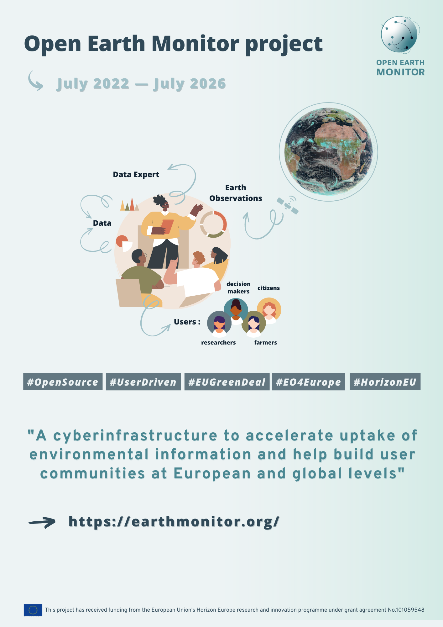
The Open-Earth-Monitor project aims to increase European capability to generate timely, accurate, disaggregated, people-centred, accessible (GSM-compatible) and user-friendly environmental information based on Earth Observation data.
The Open-Earth-Monitor Cyberinfrastructure (OEMC) draws strongly from previous and current projects (including Open Source software projects) run by the partners (see below), to build a cyberinfrastructure anchored in FAIR data principles. We will leverage and improve existing platforms and technology (OpenEO.org, Geopedia.world, GlobalEarthMonitor.eu, EarthSystemDataLab.net, OpenLandMap.org, OpenDataScience.eu, LifeWatch.eu, XCUBE and EuroDataCube.com), paired with targeted innovation, to identify, implement and deploy essential data and tools in support of EU and global challenges. This will be achieved in 3 phases: i) implementation of the computing engine and in-situ O&M data services; ii) direct application of the Open-Earth-Monitor to support EU Green Deal and other strategic actions; iii) dissemination and engagement of stakeholders & target users through series of open workshops, then revise the tools and adjust them to better fit their objectives and limitations.
A specific focus lies on contributing to: operational planning for planting 3 billion trees over the EU by 2030; achieving climate-neutrality by 2035 in the land sector; building back a net-zero GHG emission economy by 2050; achieving UN’s SDGs’; monitoring essential biodiversity indicators; compiling natural capital accounts for private/public sectors; enabling businesses to leverage competitive advantage through the EU Green Deal; increasing the quality of life for European Citizens.
Project highlights:
- Innovative, original cloud-based solutions to seamlessly integrate in-situ (point, site) and EO data and to produce new environmental information at analysis- and decision-ready levels;
- Fully-scalable computing frameworks, fully documented in Open Source software and available to a broad community so it can Find, Access, Interoperate and Re-use (FAIR);
- User-oriented, user-experience-designed data provision and Apps (developed by world leaders in scientific visualization and data science: vizzuality.com, sinergise.com and gilab.rs) potentially reaching millions of users across the EU and globally;
- A single landing page to find all environmental information produced by the project, track status of environment, build and extend environmental and climate solutions;
- Timely, accurate, disaggregated, people-centred, accessible and user-friendly environmental information available on mobile phones / for non-expert users;
- Financial assessment tools that allow users to directly quantify ecosystem services (consistent with the SEEA), to identify optimal environmental and climate solutions, and to build business solutions on top.
The IIASA Novel Data Ecosystems for Sustainability (NODES) Research Group is highly involved in work package 2 (WP2) of the project, working on stakeholder engagement and on collecting data requirements. More specific, WP2 ensures the close connection of all project activities to stakeholder needs and deals with the analysis of FAIR environmental data status and workflows in Europe. IIASA is also in charge of work package 8 (WP8), which deals with the communication, collaboration, and dissemination activities. Within the project plenty of stakeholder workshops, events, and citizen science campaigns are planned to take place.
The project brings together 22 partners:
- OpenGeoHub
- International Institute for Applied Systems Analysis, IIASA
- GFZ Helmhotz Centre Potsdam
- GILAB Doo Beograd
- Fondazione Edmund Mach, FEM
- Brockmann Consult, BC
- Nature 4.0 Societa Benefit, NAT4
- National Research Council (CNR)
- Wageningen University and Research, WU
- Sinergise
- MultiOne
- University of Münster WWU
- Association of Balkan Eco-Innovations (ABE)
- TerraSigna
- Max Planck Society (MPG)
- EURAC Research
- CREAF
- CMCC Euro-Mediterranean Center on Climate Change
- Tuscia University
- LifeWatch ERIC
- Vizzuality
- ETH Zürich
 © European Commission
This project has received funding from the European Union's Horizon Europe research and innovation programme under grant agreement No.-101059548
 © OEMC
News

30 September 2024


