
Tree-Quest is a citizen science mobile tool that enables users to measure aboveground biomass related attributes (tree diameter, height and species) and estimate carbon stored in trees while contributing data for forest and urban tree mapping, supporting research on biomass and carbon storage. Engaged citizens can measure nearby trees in their local surroundings, such as parks and along the streets in urban areas, integrating science into their daily routines. This helps generate valuable ground-based observations on trees in urban environments that can be used for satellite-based carbon assessment.
Tree-Quest: citizen science for forest and urban tree mapping
Tree-Quest is an innovative citizen science mobile application that uses augmented reality to support forest and urban tree mapping while improving our understanding of trees as key components of the global carbon cycle. It is one of several modules within the Geo-Quest application, alongside other thematic “quests” focused on environmental monitoring. The Tree-Quest module was developed within the Citizens for Copernicus project by the Novel Data Ecosystems for Sustainability research group at IIASA, with funding from the Austrian Research Promotion Agency (FFG).
Trees regulate climate by absorbing and storing atmospheric carbon dioxide. As one of the planet’s largest terrestrial carbon sinks, forests and trees outside forests are essential for climate mitigation, biodiversity conservation, and ecosystem resilience. At the same time, accurately quantifying tree biomass and carbon storage remains a major scientific challenge. This is particularly important not only in forests, but also in urban environments, where individual trees contribute to cooling cities, improving air quality, reducing climate-related risks, and supporting climate adaptation strategies. Trees outside forests also represent a substantial share of aboveground biomass and provide important ecological and economic benefits for local communities.
Collecting large-scale ground-based tree measurements is often expensive, time-intensive, and difficult to achieve using traditional urban tree inventory methods alone. Tree-Quest was developed to help address this challenge and complement urban tree inventory through the participation of citizens. By combining citizen science, augmented reality, and geospatial technologies in a free accessible mobile application, Tree-Quest enables volunteers, experts, and non-experts to contribute valuable tree observations that support environmental monitoring and biomass estimation. Input ground data can be used for calibrating and validating machine learning models for biomass mapping from satellite data.
What is Tree-Quest?
Tree-Quest is designed as an interactive, user-friendly application for measuring single-tree characteristics and collecting spatially explicit (georeferenced) tree observations. It collects ground data such as:
-Tree height (TH)
-Tree diameter at breast height (DBH)
-Tree species
And based on those measurements and allometric equations, it gives rough estimates of:
-Volume of the tree
-Aboveground biomass of the tree
-Carbon stored in the tree
Currently, those estimates are just general approximations that serve to inform users on how much carbon such a tree stores and give a perspective on how that is related to users’ yearly carbon footprint. Accurate estimates of carbon and aboveground biomass will be done in the post-processing phase, i.e., during scientific exploration of the data.
The Tree-Quest data can contribute to improving urban tree biomass estimation and carbon mapping efforts by complementing existing urban tree inventories. Preliminary comparisons with measurements using traditional forest inventory tools and terrestrial laser scanning (TLS) methods have shown very good levels of accuracy of Tree-Quest (the relative mean absolute errors of tree diameter and tree height are 6% and 11%, respectively, Milenkovic et al. (2026)). By directly engaging citizens in data collection, Tree-Quest helps us expand monitoring capacity and update expert-based urban tree inventory with up-to-date measurements. At the same time, it increases public participation in climate and sustainability research and raises awareness about the importance of trees in both natural and urban environments.
Advancing citizen science participation through Tree-Quest
Since its inception, Tree-Quest has been continuously developed and improved. The project team has participated in several conferences, focusing on outreach activities, and hands-on workshops to build a growing “carbon community” of contributors interested in environmental monitoring and citizen science. Gamification elements, such as integrated in the application leaderboards, also help motivate participation and encourage long-term engagement.
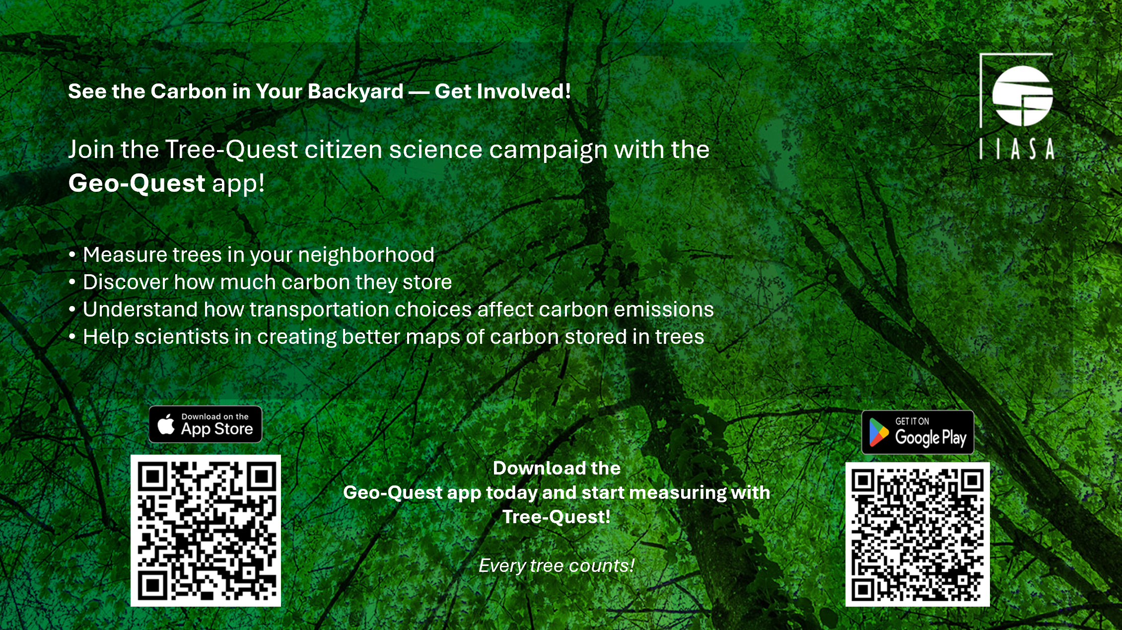
A major milestone in these engagement activities was Tree-Quest becoming part of the OeAD Citizen Science Award 2026, organized by the OeAD – Austrian Agency for Education and Internationalisation on behalf of the Austrian Federal Ministry of Women, Science and Research. As part of the initiative, a dedicated Tree-Quest campaign for Austrian school classes started on April 1, 2026, encouraging students to collect as many tree measurements as possible during the campaign period and compete for prizes provided by OeAD. The campaign particularly focuses on measuring trees outside forests, including park trees, roadside trees, backyard trees, etc. These observations are especially valuable for expanding datasets used for biomass and carbon estimation.
As of July 2026 approximately 23,000 tree measurements have been collected by nearly 400 users, and more than 30 school classes from across Austria have joined the Tree-Quest campaign and contributed. In addition, numerous hands-on workshops for children and adults have been organized to introduce interested to Tree-Quest. All collected measurements will be openly published following quality assessment and validation upon the end of the OeAD campaign.
 © Tree Quest | NODES
Current status
Tree-Quest is currently being further developed and tested. Ongoing work focuses on improving the questionnaire and the estimation methods based on allometric equations, as well as expanding measurement and validation activities to better understand the condition of trees. You can join us in measuring trees anytime and contribute to improving environmental monitoring and climate research through citizen science.
Journal Publication:
- [Article] Tree-Quest: A Citizen Science App for Collecting Single-Tree Information Milenkovic, M., Hofhansl, F., Weinacker, R., Sturn, T., Karanam, S., Wild, B., Hollaus, M., Neumayr, C., Iglseder, A., Pfeifer, N., Zappa, L., Bruckman, V., Breitfuss-Schiffer, R., Schumacher, B., Gresse, H., Joly, A., Bonnet, P., Schepaschenko, D., See, L., … Fritz, S. (2026). Ecological Informatics, 97, 103897. https://doi.org/10.1016/j.ecoinf.2026.103897
Other selected Publications/Presentations:
- [Dataset] Dataset for the analysis of Tree-Quest measurements collected in Laxenburg Park and Stadtpark [Data set]. Milenkovic, M., Hofhansl, F., Weinacker, R., Sturn, T., Karanam, S., Wild, B., Hollaus, M., Neumayr, C., Iglseder, A., Pfeifer, N., Zappa, L., Bruckman, V., Breitfuss-Schiffer, R., Schumacher, B., Gresse, H., Joly, A., Bonnet, P., Schepaschenko, D., See, L., … Fritz, S. (2025), Zenodo. https://doi.org/10.5281/zenodo.18063770
- [Presentation] Citizen Science Mobile App and Data in Support of Forest Mapping, Milenkovic M. OEMC Global Workshop 2024, Laxenburg, Austria
- [Presentation] Geo-Quest mobile application: Easy and accurate Earth Observation-enhanced ground data collection, Laso Bayas, J. C., and Milenkovic, M. The Living Planet Symposium (LPS) 2025, Vienna, Austria
- [Presentation] Tree-Quest: Citizen Science App to Measure Single Tree Attributes, Hofhansl, F., ADAPT4K Kick-off Meeting, 8 April 2025, St. Pölten, Austria.
- [Presentation] Tree-Quest Campaign 2025 and a Citizen-Science Tool to Measure Tree Biomass and Carbon, Georgieva I. Österreichische Citizen Science Konferenz 2026, Leoben, Austria
- [Presentation] When is enough enough?, Milenkovic M. and Resch B. Naturhistorisches Museum Wien (2026), Vienna, Austria
- [Presentation] Tree-Quest: A Citizen Science App for Collecting Single-Tree Attributes. Hofhansl, F., (2026). EGU General Assembly 2026, Vienna, Austria
- [Presentation] Tree-Quest: A Free App for Measuring Urban Tree Attributes for Biomass and Carbon Assessment, Milenkovic M. (2026) Building Capacity for Urban Forest Management across Europe: Indicators, Knowledge, and Participation, Antalya, Türkiye
- [Media] https://noe.orf.at/stories/3310767/
- [Media] https://science.orf.at/stories/3230792/
- [Media] https://iiasa.ac.at/news/jun-2025/from-vienna-to-world-launch-of-citizen-science-campaign-to-measure-trees-and-map
- [Media] https://www.sciencegarden.at/mint-erlebnis/tree-quest/
- [Media] https://wienxtra.at/event/5292/
- [Media] https://oead.at/de/aktuelles/artikel/2026/05/hohe-beteiligung-beim-projekt-tree-quest-bereits-mehr-als-10000-messungen-1
- [Media] https://austria-in-space.at/de/news/2025/20251009-tree-quest-satellitendaten-brauchen-bodenwissen.php
- [Media] https://www.citizen-science.at/projekte/tree-quest
- [Media] https://youngscience.oead.at/de/mitforschen/citizen-science-award/aktuelle-projekte/tree-quest
News
15 October 2026
MowingQuest system-test campaign 2026 concludes, data collection continues
IIASA’s MowingQuest citizen-science campaign has wrapped up its August–September 2026 system test, with 25 pioneer users submitting almost 800 observations across eight countries. The results will help improve the app and data-quality workflows ahead of the main 2027 campaign. Two participants have also won Garmin GPS watches in the campaign raffle.
06 October 2026
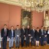
Nanjing University delegation visits IIASA to explore future collaboration
A high-level delegation from Nanjing University (NJU), led by Professor Tan Zhemin, President of NJU and Fellow of the Chinese Academy of Sciences, visited IIASA to discuss opportunities for strengthening scientific cooperation and advancing joint research on global challenges.

23 September 2026
IIASA researchers strengthen cooperation with Kyrgyzstan on AI and industrial development
IIASA Cooperation and Transformative Governance (CAT) Research Group Leader and Senior Research Scholar Nadejda Komendantova and CAT Research Scholar Dmitry Erokhin have contributed to a series of scientific and policy forums in Kyrgyzstan in 2026. Their research on artificial intelligence in the production sector builds on IIASA’s longstanding cooperation with the country on sustainable industrial development.