

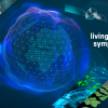
The Citizens for Copernicus (C4C) project, coordinated by the IIASA Novel Data Ecosystems for Sustainability Research Group in the Advancing Systems Analysis Program, aims to develop an Austrian citizen science data component to bridge the in situ data gap for more reliable forest mapping with Copernicus data. The project focuses on the combined use of citizen science and satellite images to develop AI models for forest resource (biomass/carbon) monitoring.
 © IIASA
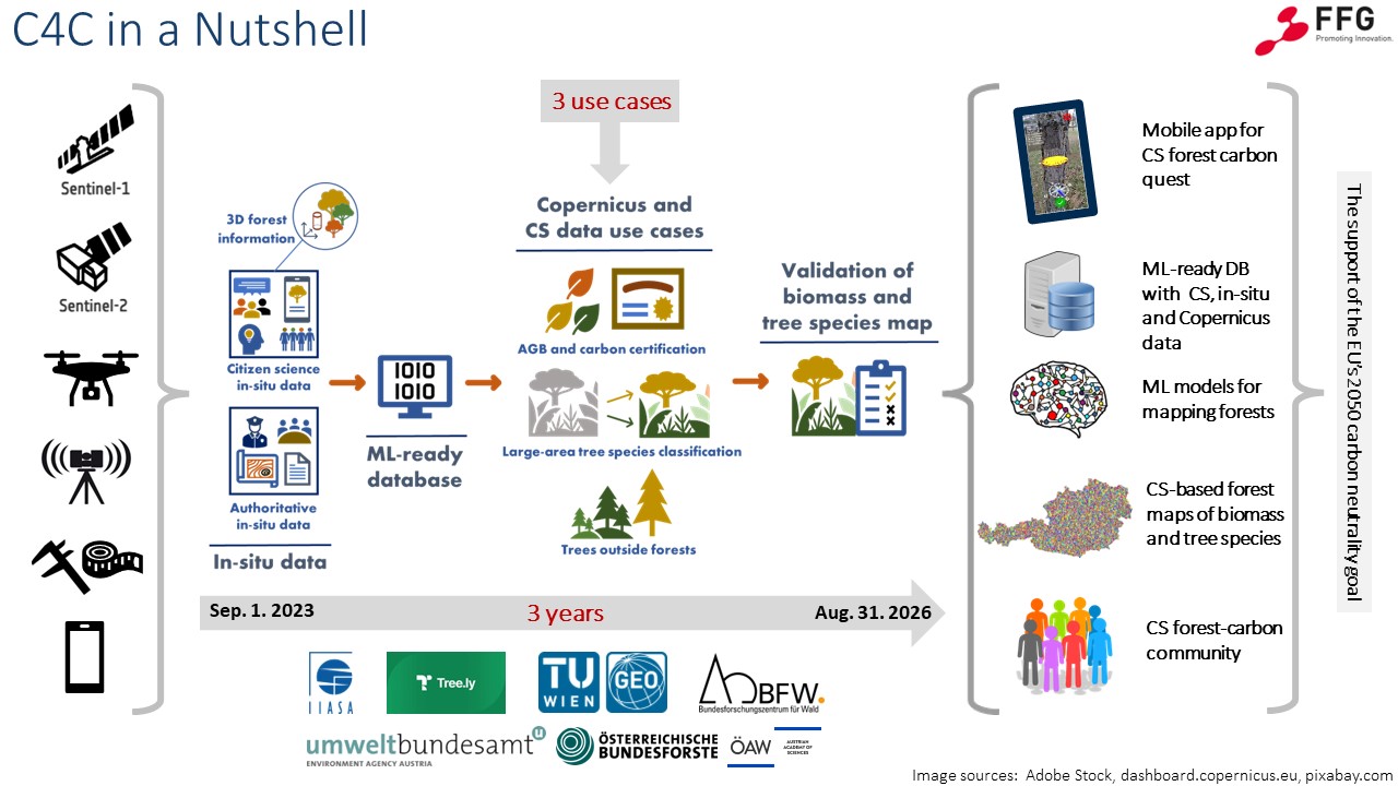
The C4C project encourages the public to help monitor the changes occurring in their local forests by simply taking pictures with their phones. Utilizing modern 3D vision and AI techniques for 3D forest information extraction, as well as forest mapping with Sentinel-1 and Sentinel-2 satellite images, researchers aim to compile data and make it more reliable so it can be used in new, more advanced tools for forest monitoring. Several permanent plots will be established along the gradient of forest disturbances for repeated image collection campaigns. These plots will act as the base for evaluating in situ data quality.
The potential of combining citizen science data and Sentinel images will be demonstrated through a number of test-uses involving practical implementation of the compiled data by a number of partners. The first test will focus on forest biomass mapping, where one of the project partners – the Tree.ly company – will be involved as the end user. Another test will be developed together with the Austrian Research Centre for Forests (BFW) to understand how citizen science data, in combination with Sentinel-2 images, can contribute to their existing workflows for tree species mapping. The last test will focus on assessing the biomass of trees outside the forest and understanding how citizen science data and Sentinel images can complement and contribute to reporting at the Austrian Environment Agency.
The C4C project will have a solid social component, helping to improve understanding and spread awareness about the added value of using Copernicus data and by demonstrating, in return, how citizen science can contribute to climate neutrality and the sustainable use of forest resources. Finally, the Austrian citizen science data component will serve as the permanent source for validation of current and future Copernicus satellite data, setting standards for developing the European and global Copernicus citizen science in situ data components.
Consortium
News
03 July 2026
Tree-Quest: a citizen science tool for collecting single-tree information
Tree-Quest is a citizen science mobile tool that enables users to measure aboveground biomass related attributes (tree diameter, height and species) and estimate carbon stored in trees while contributing data for forest and urban tree mapping, supporting research on biomass and carbon storage. Engaged citizens can measure nearby trees in their local surroundings, such as parks and along the streets in urban areas, integrating science into their daily routines. This helps generate valuable ground-based observations on trees in urban environments that can be used for satellite-based carbon assessment.
23 June 2025
From Vienna to the world: launch of citizen science campaign to measure trees and map carbon
On 23 June 2025, IIASA will launch the global citizen science “Tree-Quest” campaign at the Living Planet Symposium in Vienna, inviting people from all over the world to take part using the free Geo-Quest app. As part of the Citizens for Copernicus project, IIASA researchers will also lead hands-on workshops with schoolchildren at the symposium, teaching them how to use the app and collect ground data that will help scientists map the carbon stored in trees with satellite data more accurately.
13 November 2024
Citizens for Copernicus (C4C) project - 2024 annual meeting
The Citizens4Copernicus (C4C) project consortium held its first annual meeting in Vienna, where partners reviewed key achievements, including the development of methods for tree attribute extraction and the creation of a prototype app for citizen science data collection. The project is now entering the data collection phase, focusing on forest and tree mapping through citizen science campaigns, while planning additional measurement campaigns and further app enhancements.
Events
Vienna, Austria